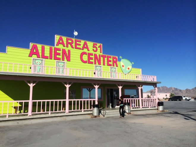


Death Valley to Yosemite –
After seeing an Ansel Adams photography exhibition in London, Yosemite National Park has been at the top of my list of places to visit. Although the whole trip was quite spontaneous and we didn’t necessarily plan on arriving at Yosemite in early October, it turned out to be the perfect time to visit. The flowers and trees were still in bloom and the weather was sunny and balmy. More importantly, there were hardly any crowds or traffic, which I’ve heard can be an issue in the summer. It was just as well as we were only at the park for 2 days and ended up doing most of it by car. Although we agreed that we’d love to return to hike it as we did in Zion, Yosemite is actually a great driving park. We were even lucky enough to see a baby bear crossing the road! N.b. bear in mind that in October some of the waterfalls may be dry.
Trails –
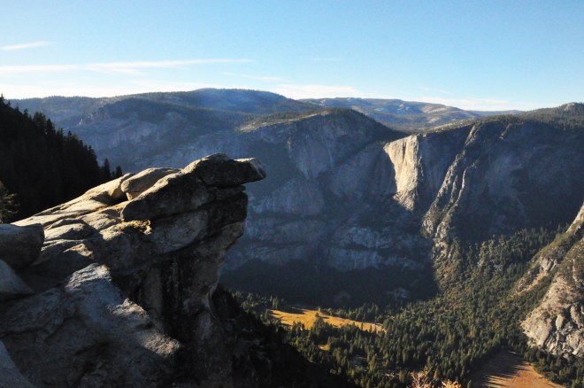
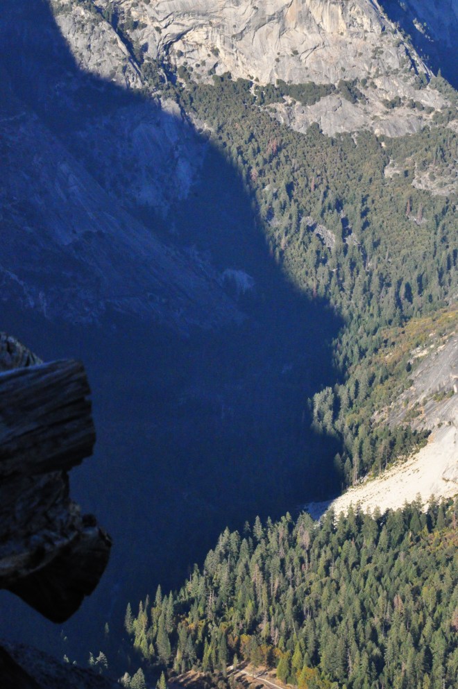
Glacier point – This short loop-trail ends with what is probably one of the most iconic views of any national park. It is not hard to see why. The summit looks out on to half dome – a huge, granite dome-shaped cliff that is actually a deep cleft carved out of the rock by long-melted glaciers. The view of the lush, U-shaped valley flanked by these massive, sheer cliffs is almost indescribable. Stay for the sunset as the sun illuminates the head of the dome.
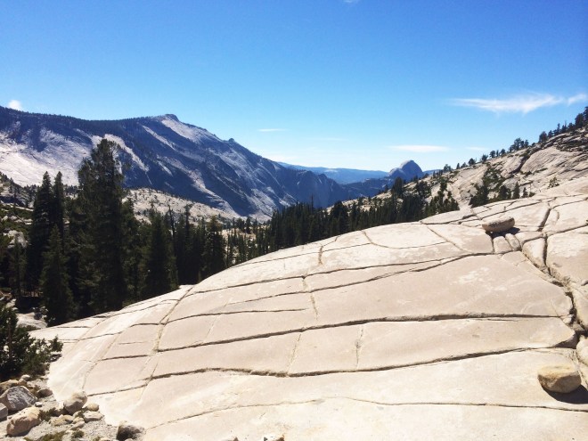
Olmstead Point – The most accessible of all the views by car. Panoramic views of smooth, rolling granite peaks dominated by the side of half-dome and a very picturesque, photo-bombing pine tree.
Tenaya Lake – A short hike from where you leave your car around the lake. A crystal-clear alpine lake surrounded by lodge-pole forest and of course the ubiquitous granite domes.
Where to stay and eat: We stayed in quite generic park lodgings with an expensive and forgettable bar and restaurant. From what I saw a lot of the accommodation in Yosemite was over-priced. If I were to do it again I would love to hike around the park, camp in a spot I liked when I was tired, and prepare my own food on a fire and eat amongst the trees while admiring the views. It would definitely be worth the hassle of getting a Wilderness permit to avoid the summer crowds at designated campsites. Though note of course note that there are a few restrictions when it comes to wilderness camping. If this doesn’t sound up your street then the tent-cabins of Tulomne Meadows Lodge and Half Dome Village are a good compromise.

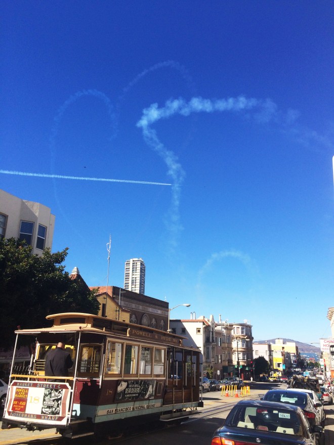
Yosemite to San Francisco
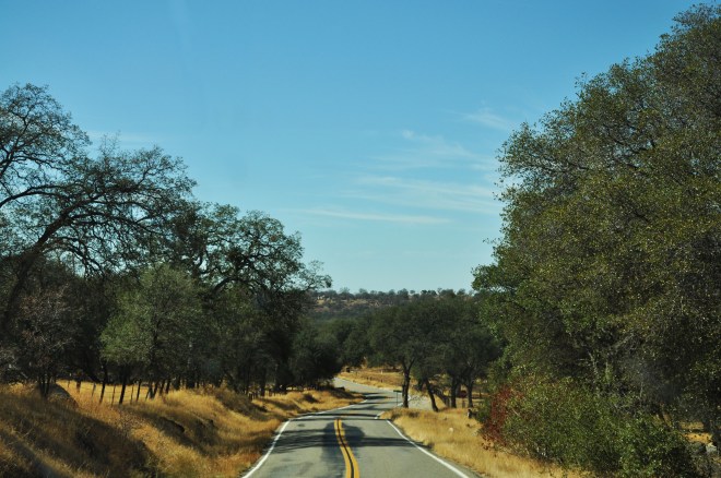
At this point we had the obvious choice of taking highway 120 out of the park onto 580 direct to San Francisco, but this seemed such an anticlimax after the beauty of the park we thought we’d take the back roads instead. We weren’t ready to leave the trees for the freeways quite yet, and it meant we could catch a small part of the Pacific Coast Highway. We took the 140 South, onto the empty roads and wheat-colour hills of rural California. I think we saw about 3 cars during the 2 hours before our lunch stop in the tiny, sleepy town of Raymond.
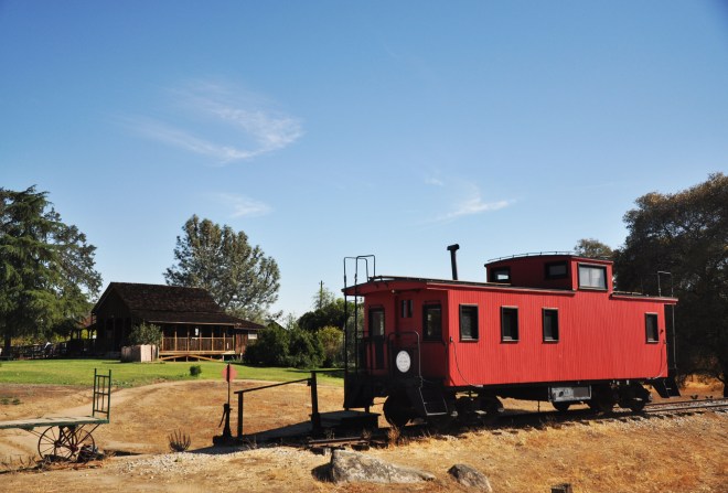
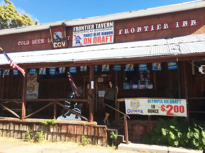
Formerly called Wildcat Station, Raymond grew up around the railway and has the definite nostalgic feel of a once-busy, now bypassed town. You can still see the sleepers for the Southern Pacific highway and eat in a virtually unchanged 1890s general goods store. We felt we’d walk through the swinging saloon doors of the only bar to have everyone turn around and stare at us. As it happened they (about two people, including the bartender) did turn around and look but were about the friendliest people you could hope to meet. We spoke to one man who told us that Raymond was going through one of the worst droughts in its history – forcing a lot of young people, including his son, to move to San Francisco for work. He said it hadn’t rained in Raymond in 6 years.
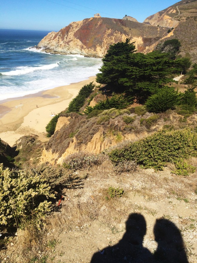
From here we continued onto our 3 hour drive to the coastal town of Santa Cruz, where we stayed in a roadside motel. There’s a strange feeling that you get at the end of a long road-trip, one simultaneously of satisfaction at having seen so much but also a pre-emptive sadness of not wanting it to be over. We lounged in bed the next morning half-watching the ends of movies and day-time TV shows, in no rush to give back the car we’d grown attached to, but still looking forward to catching the sunset over the famous cliffs and angry waves of the final part of the Pacific Coast Highway.